What’s at Risk
Under the State Government’s plan, we risk:
-
The gradual loss of our neighbourhood character
-
3 to 6 storey apartment blocks dominating residential streets
-
Reduced housing diversity and choice over time
-
Increased traffic congestion in suburban streets
-
Strain on local infrastructure — parking and public transport
We’re fighting to protect what makes Armadale liveable and unique.
.jpeg)
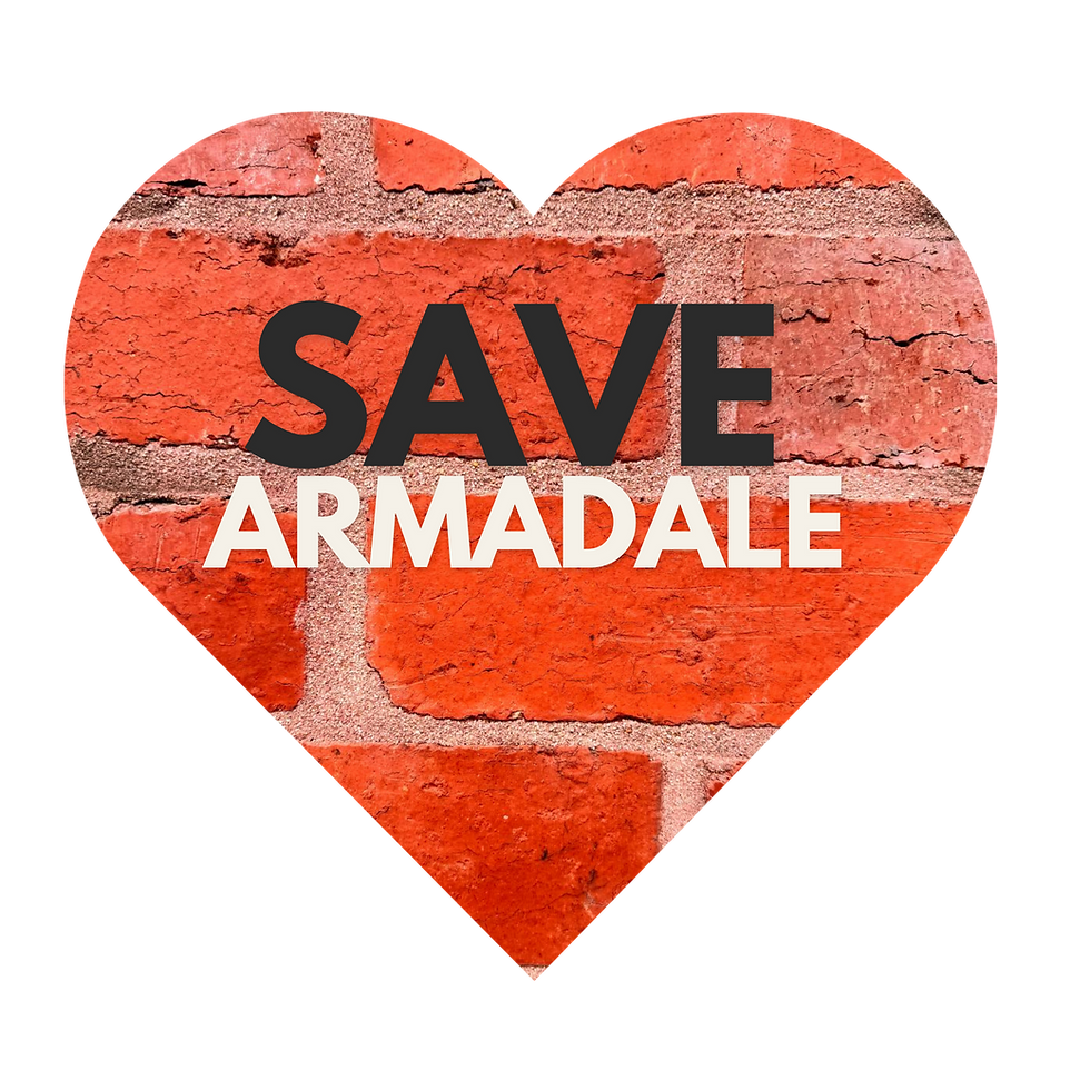
What we are fighting
We’re fighting to protect what makes Armadale liveable and unique.
What the Government Is Proposing
-
The State Government plans to create two new “activity centres” in Armadale:
-
Around Armadale Station
-
Around Toorak Station
-
-
Properties up to a 1.8 km radius of each station would be rezoned into a new Housing Choice and Transport Zone (HCTZ).
.jpeg)

What This Means in Practice
-
Within each activity centre, there will be three different areas:
-
Core: 6–12 storeys (closest to the station)
-
Inner catchment: 4–6 storeys (covering most of the activity centre)
-
Outer catchment: 3–4 storeys (at the perimeter of the activity centre)
-
-
Most of Armadale would be opened up to medium- and high-density development — including streets currently made up of low-rise homes.
.jpeg)
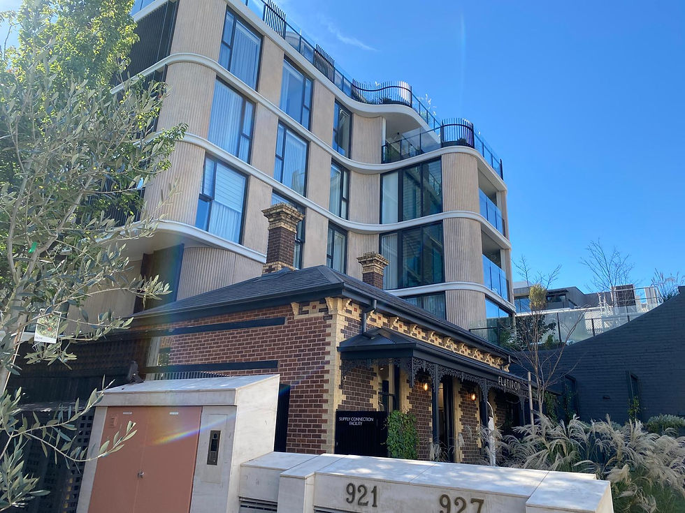
What It Could Look Like
-
Heritage homes surrounded by multi-storey apartment blocks
-
Quiet residential streets transformed by larger developments
-
A very different streetscape from what exists today
.png)
Proposed Activity Maps
Proposed Toorak Activity Centre Map


Proposed Armadale Activity Centre Map

The Government says heritage overlays will remain.
But in practice, protection is uncertain.
-
Developers can retain part of a heritage building while building large developments behind or around it
-
If your property is protected but neighbouring ones are not, you could still be surrounded by much taller buildings
-
Even in heritage precincts, developers could appeal and favourable Council decisions could be overturned.
It only takes a small number of developments in a street to permanently change its character.
Will Heritage Protections Save Us?
Will you have a say?
-
Can you object to a development?
-
Can Council refuse a planning permit?
-
Can you appeal to VCAT?
This is a fast-tracked planning process with limited community input.
NO!
This is a fast-tracked planning process with limited community input.
Where Things Stand Now
-
HCTZ was gazetted in late 2024
-
Initial consultation took place in 2025
-
Draft maps were released on 22 February 2026
-
Consultation closed on 22 March 2026
-
Final maps are expected by June/July 2026